KEHUTANAN
Indonesia memiliki jutaan hektar hutan alam dan tanaman yang digunakan untuk produksi kayu, pulp, dan kertas. Mengelola area yang luas ini, baik untuk kinerja operasional maupun keberlanjutan dapat menjadi tugas yang sangat esensial.
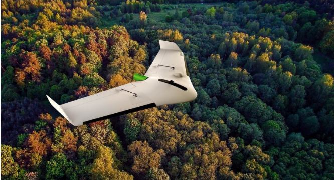
Memanfaatkan perkembangan terbaru pada teknologi drone oleh DelairTM dan AlteiaTM , CARSURIN dapat membantu Anda memanfaatkan citra udara kelas dunia, memberikan wawasan dan analisis yang komprehensif – baik melalui penjualan atau layanan.
Solusi kecerdasan visual kami untuk kehutanan memberikan peta digital ladang tanaman Anda bersama dengan penghitungan otomatis inventaris pohon dan sejumlah indeks multi-spektral yang memberikan analisis akurat untuk wawasan mendalam tentang kesehatan pohon: kekuatan pohon, kadar klorofil, biomassa hijau, konsentrasi vegetasi (greenness), indeks reflektansi fotokimia dan banyak lagi.
Umumnya, pengelolaan kehutanan bersifat reaktif; masalah muncul dan perlu diperbaiki. Terapkan transformasi digital di seluruh aset kehutanan Anda dengan teknologi drone terkemuka kami dan buka pintu untuk manajemen kehutanan prediktif. Bertindaklah berdasarkan wawasan bisnis sebelum masalah kecil menjadi semakin besar. Ketahui dengan tepat status perkebunan Anda untuk secara proaktif meningkatkan perencanaan, mereduksi biaya, dan meningkatkan prakiraan produksi.
Apapun peran Anda dalam rantai pasokan kehutanan, pengalaman kami selama lebih dari 50 tahun dapat membantu Anda meningkatkan produktivitas, meningkatkan kualitas, dan yang terpenting, mengurangi risiko.
PRODUK
KEHUTANAN
PRODUK
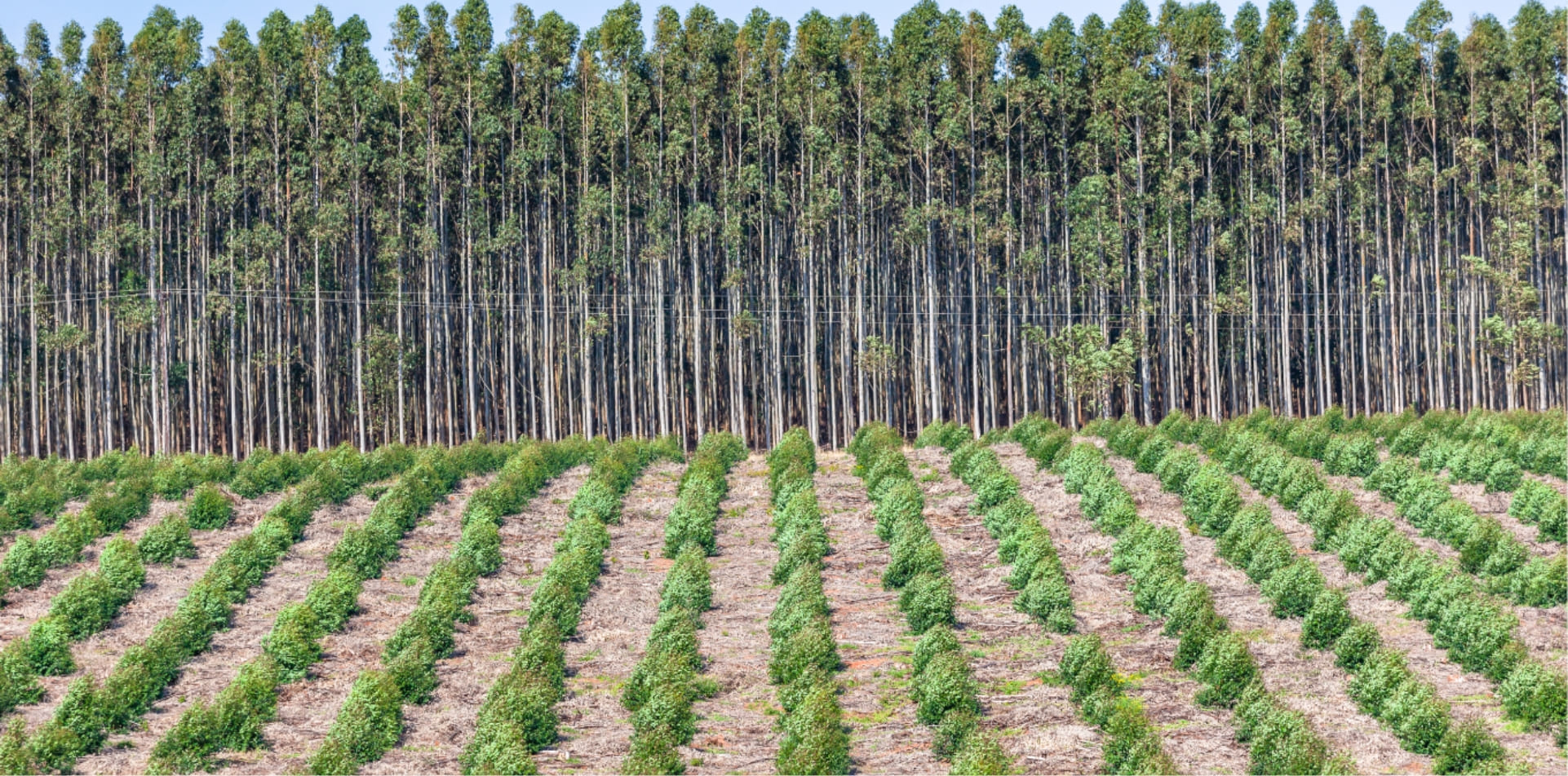
- Acacias Plantation
- Eucalyptus Plantation
- Oil Palm Plantation
- Rubber Plantation