FORESTRY
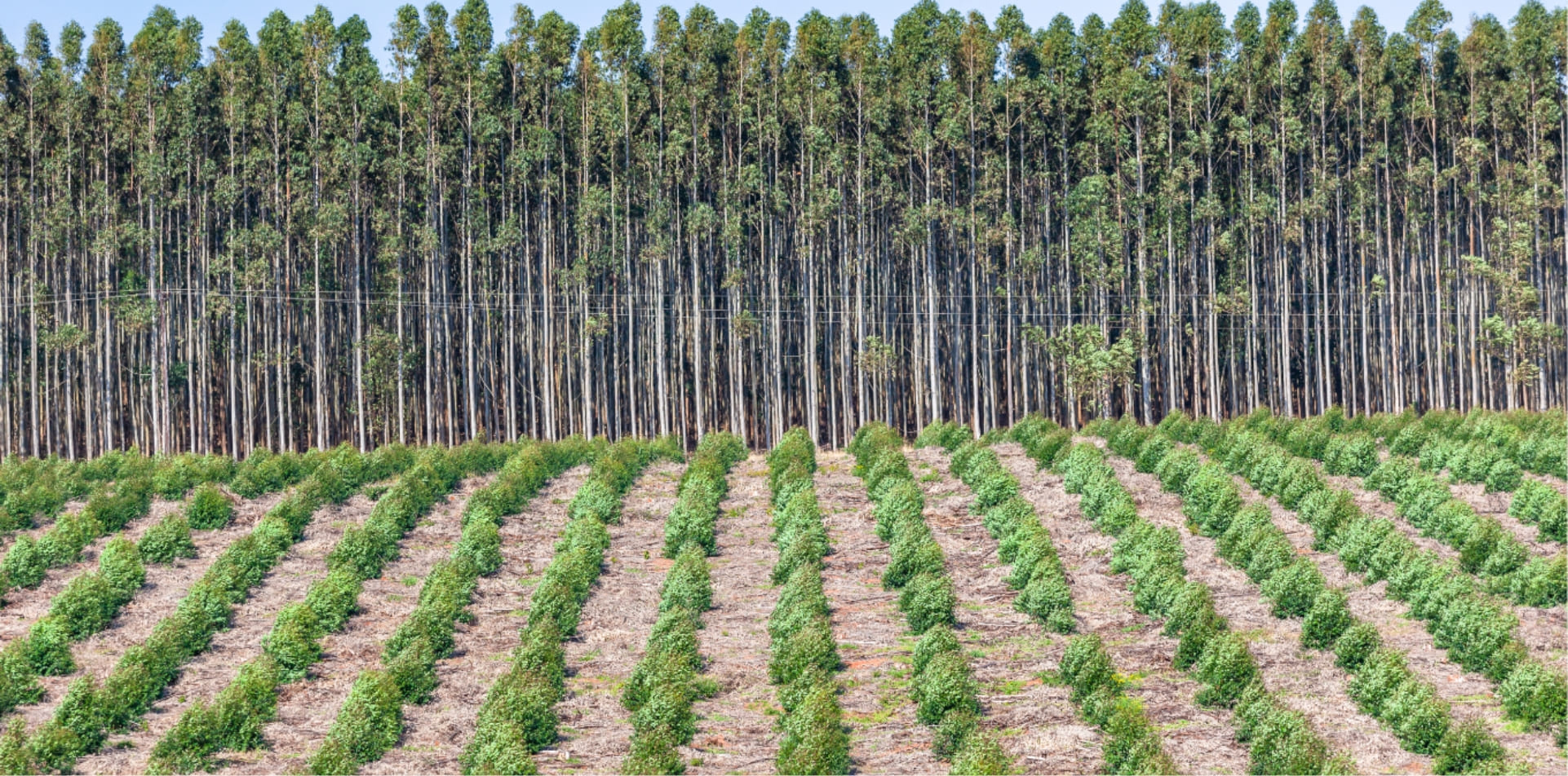
Indonesia has millions of hectares of natural and planted forests used for wood, pulp and paper production. Managing these vast areas, both for operational performance as well as sustainability can be a monumental task.
Utilising the latest developments in drone technology by DelairTM and AlteiaTM , CARSURIN can help you take advantage of world class aerial imagery, providing comprehensive insights and analysis – whether through sales or service.
Our visual intelligence solutions for forestry deliver digital maps of your fields along with automated counting of tree inventory and a host of multi-spectral indexes that provide analytics for deep insight into tree health: tree vigour, chlorophyll content, green biomass, greenness, photochemical reflectance index and many more.
Typically, forestry management is reactive; a problem appears and it needs to be fixed. Implement digital transformation across your forestry assets with our leading drone technology and open the door to predictive forestry management. Act on business insights before small issues become big problems. Know precisely the status of your plantation to proactively improve planning, reduce costs and enhance production forecasts.
Whatever your role in the forestry supply chain, our more than 50 years of experience can help you improve productivity, assess quality and most importantly, reduce risk.
PRODUCTS
FORESTRY
PRODUCTS
- Acacias Plantation
- Eucalyptus Plantation
- Oil Palm Plantation
- Rubber Plantation