


Overview
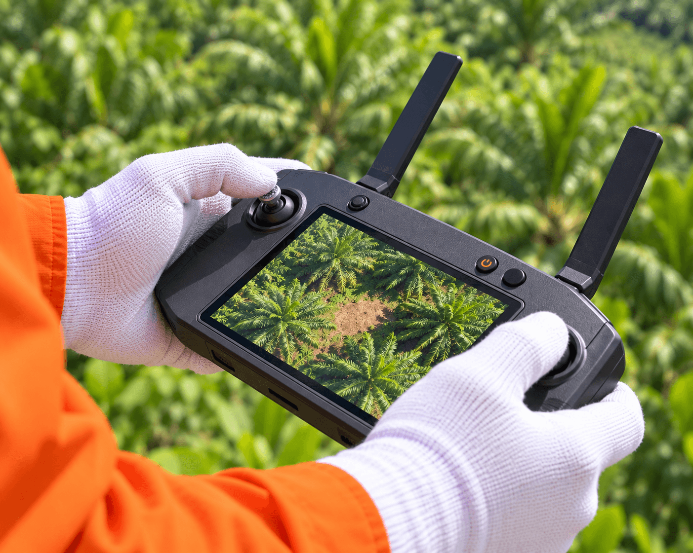
Planting gaps can reduce stand uniformity and may be difficult to locate efficiently across large estates. CARSURIN processes aerial imagery over the defined plantation area to identify potential gaps in the visible planting pattern, maps their locations and provides outputs for field verification or replanting review.
Request a serviceWhy It Matters

Gap visibility
Locate potential planting gaps across large estate blocks.

Mapped follow-up
Provide locations for efficient field verification and action.

Replanting support
Support decisions on where replanting review may be required.
FIND THE RIGHT EXPERTISE
Scope of Services
- 01Plantation boundary review
- 02Flight planning
- 03Aerial image capture
- 04Planting pattern review
- 05Gap detection processing
- 06Location mapping
- 07Result validation
- 08Block summary
- 09Analysis reporting
Explore related industries
Related Industries
Explore industries connected to this capability and CARSURIN's related technical services.



FAQ
The exact definition depends on the plantation pattern and approved analysis rules; aerial results should be validated against field conditions.