


Overview
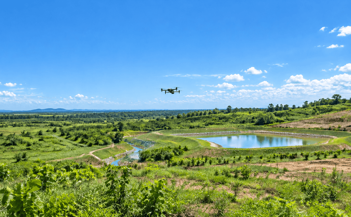
Erosion features and sediment-control measures can change quickly across disturbed or rehabilitated sites. CARSURIN captures aerial imagery over the defined area, documents visible erosion features and control measures and maps locations that may require ground verification, maintenance or corrective action.
Request a serviceWhy It Matters

Wide-area review
Observe erosion and control measures across large site areas.

Issue location
Map visible erosion or sediment-control concerns for field follow-up.

Maintenance evidence
Provide aerial records that support corrective-action planning.
FIND THE RIGHT EXPERTISE
Scope of Services
- 01Monitoring-area definition
- 02Flight planning
- 03Aerial image capture
- 04Erosion feature review
- 05Control measure review
- 06Sediment area mapping
- 07Change comparison
- 08Issue location mapping
- 09Monitoring report

Explore related industries
Related Industries
Explore industries connected to this capability and CARSURIN's related technical services.



FAQ
It can document visible erosion features, sediment accumulation and the external condition of control measures within the survey area.